
The experiment
A connectivity model, not a height filter
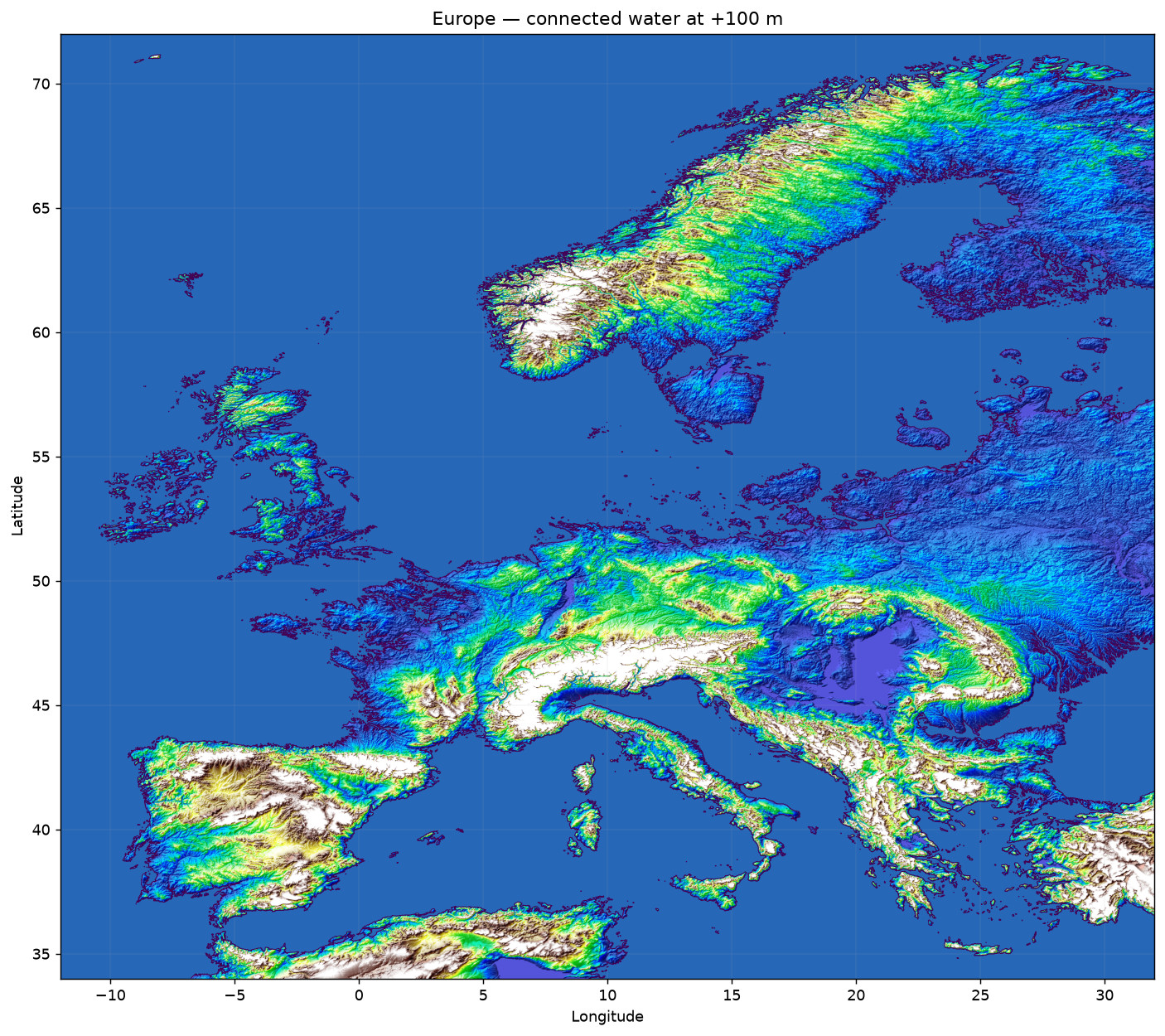
The local utility downloads NOAA ETOPO 2022 surface-elevation data, extracts an arbitrary geographic bounding box, and propagates water from explicitly selected source points. A terrain cell is included only when it lies at or below the selected level and is continuously connected to the source through neighbouring eligible cells.
This distinction matters. A low inland depression does not become part of the sea merely because its elevation is below the target value. The model needs an unbroken route through the terrain.
Published set
Nine regional views, four levels each
The first public set covers Europe; the Atlantic and Pacific sides of North America; the Great Lakes; the Atlantic and Pacific sides of South America; Southeast Asia; and a closer view of Northeast China, the Korean Peninsula, Sakhalin, and Japan.
Each region starts with the current 0 m view and can be compared at +20 m, +50 m, and +100 m. The public PNG maps use the 60 arc-second ETOPO dataset, approximately 1.8 km per cell in latitude, which is appropriate for regional patterns rather than local property assessment.
Caspian scenario
Anthropogenic basin filling
The Caspian and steppe maps use a source point inside the Caspian Sea. They explore a sustained anthropogenic water-transfer scenario through the connected river-and-canal system, including the Volga and Ural basins, rather than direct natural inundation from the global ocean.
The same connectivity rule still applies: water expands only through terrain cells that form a continuous route at or below the selected level.
Interpretation
What the maps do not predict
The experiment does not assign a date, cause, probability, or rate to any water level. It does not simulate climate dynamics, discharge capacity, rainfall, erosion, levees, locks, pumps, coastal protection, or political and engineering feasibility.
It is a visual study of elevation and connected flow paths. The resulting maps are useful for inspecting large-scale terrain relationships, not for emergency planning or engineering decisions.